Mapping Emergency Health Services in Senegal

Defining the scope and service provision capacities of Emergency hospital

ABOUT THE PROJECT

“OpenStreetMap Senegal are mapping public hospitals in Senegal and updating the emergency health services available. This is part of a larger campaign from healthsites.io to define emergency health services across Africa.”

“We compare open data from OpenStreetMap hospitals with an open data set developed by the KEMRI-Wellcome research program in 2018 and currently hosted by WHO. With the support of Afrimapr, we establish R building blocks to allow personalized analysis using open source packages. We monitor progress in terms of entering additional health facility data into OSM through the Ohsome application developed by HeiGIT and afrihealthsites developed by afrimapr.”
Img

WHAT WAS THE STATUS AT THE BEGINNING OF THE PROJECT?

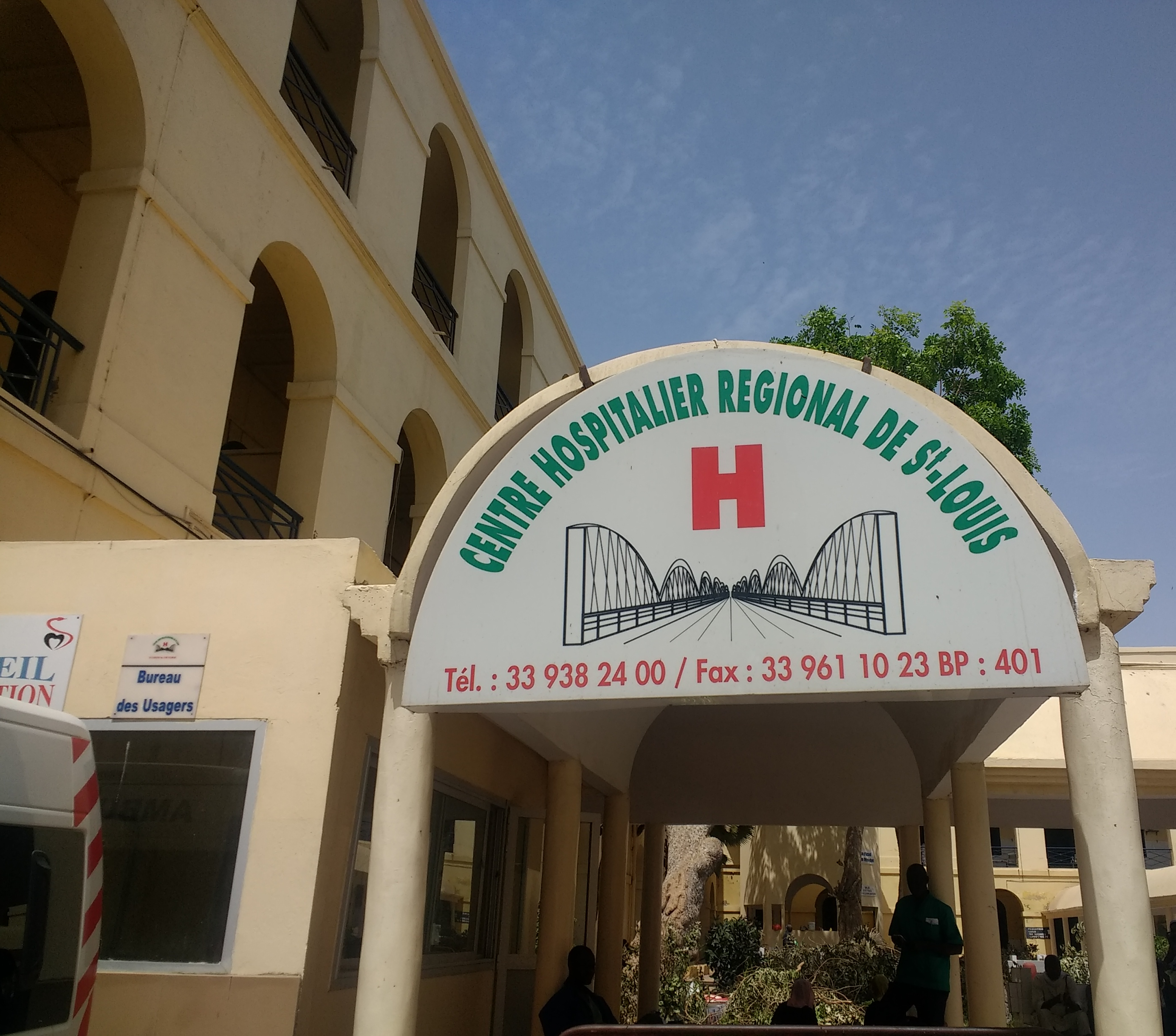
At the start of this project healthsites.io had collected information on 1,221 health facilities in Senegal with most of them based in Dakar. Only partial information was available for all facilities listed in healthsites.io. This meant that most entries did not list details critical to support humanitarian responses.

Visit healthsites.io

Emergency health user stories

How to drive development of the data

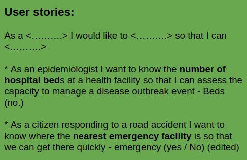
We take a Human Centered Design to drive the development of baseline health facility data. We invite specialists to share user stories that communicate emergency health needs in parts of the world where service is poor. This helps us identify the baseline health facility attributes to focus on.

Img

Deconstructing user stories

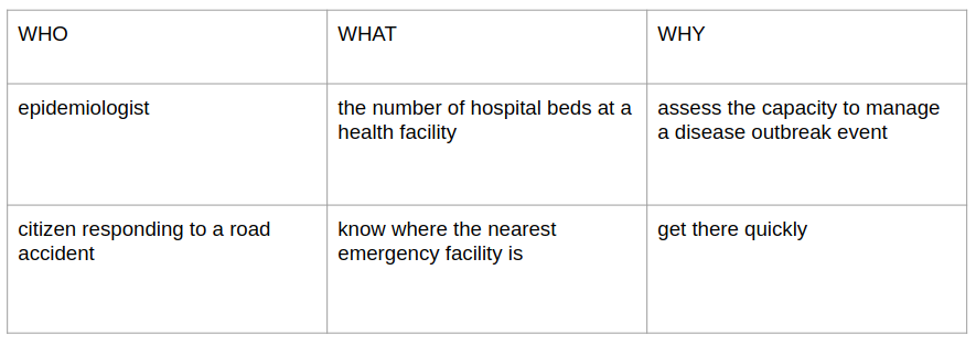
When we deconstruct user stories, we can understand what kind of information is needed to support the story. Our examples are deconstructed in the table below…

Img

User story example 1

"As an epidemiologist I want to know the number of hospital beds at a health facility so that I can assess the capacity to manage a disease outbreak event - Beds (no.)"

Click here to view map image showing improvements to the "beds=" key

User story example 2

"As a citizen responding to a road accident I want to know where the nearest emergency facility is so that we can get there quickly - emergency (yes / No) "

Click here to view map image showing improvements to the "emergency=yes" tag

Project Overview

Emergency health data

Senegal’s OpenStreetMap cartographers called hospitals to confirm available emergency services

OpenStreetMap

Health facility data uploaded to OpenStreetMap by the cartographers

Open data comparison

The afrimapr team provide data analysis and comparison with other open health facility data

Visualise data

Open licensing

All materials, including blog posts, images, code, and data created in this project are released under open licenses

Historical comparison

The HeiGIT team will facilitate historical comparisons with OSM data via their tool - OHSome

Visualise data

Share experience

The team will provide updates and lessons learned via blog posts and a project report

We are grateful for funding via the Microgrants from Humanitarian OpenStreetMap

HOT is an international team dedicated to humanitarian action and community development through open mapping.

Learn more about HOT

104 Emergency Health Locations Updated

  • 0

    Clinics
  • 0

    Doctors
  • 0

    Hospitals
  • 0

    Pharmacies